
Summary
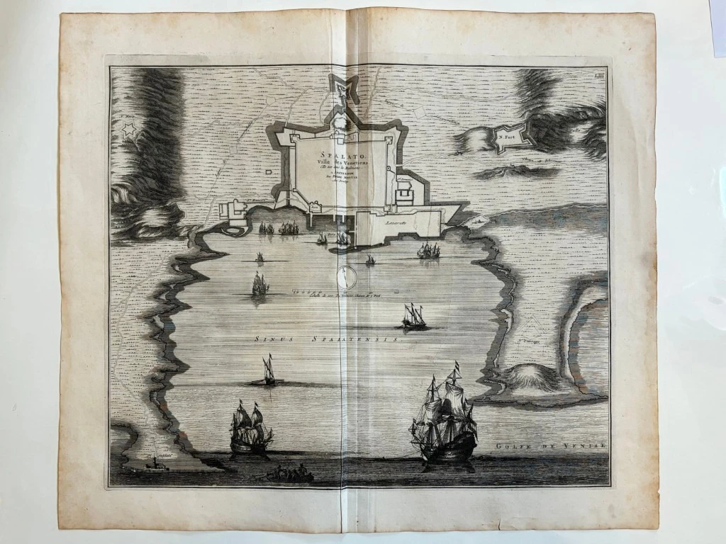
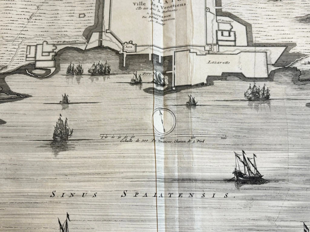
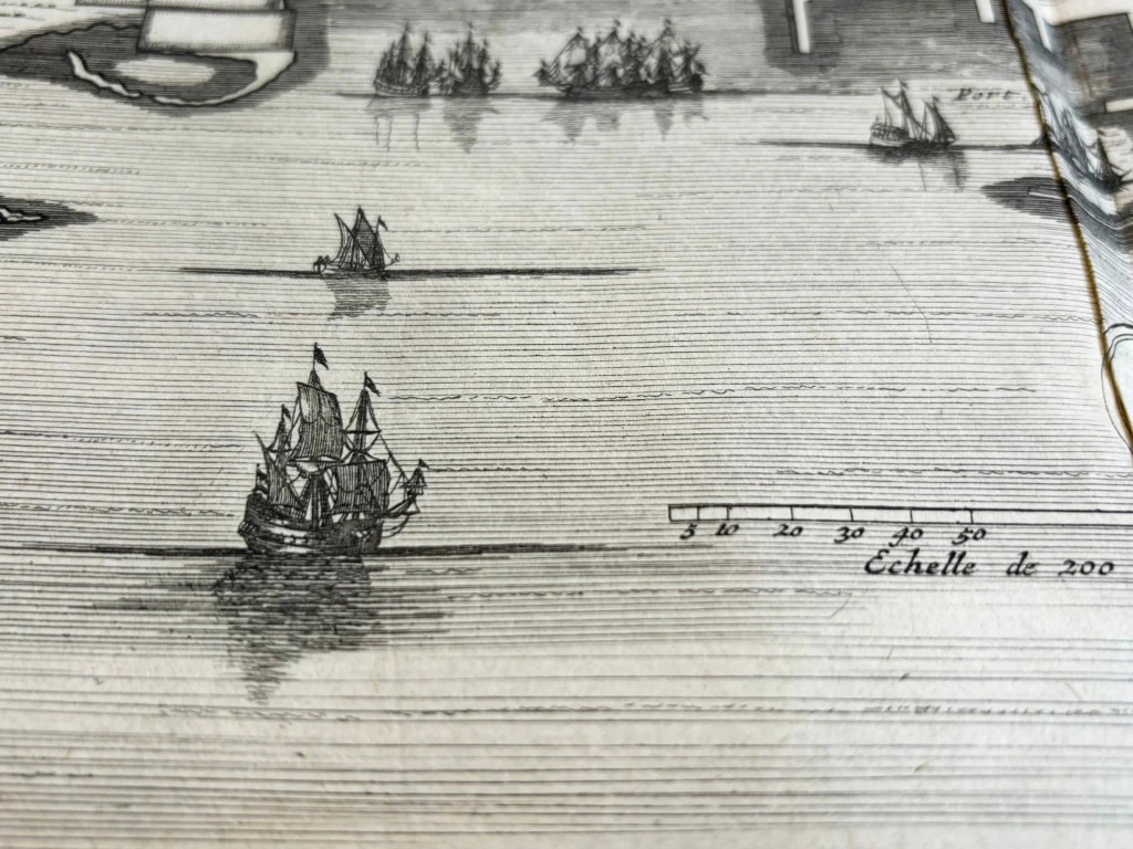
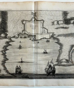
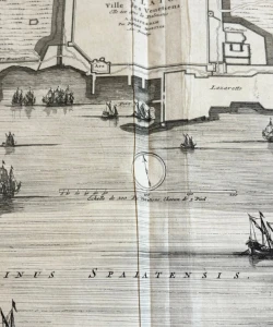
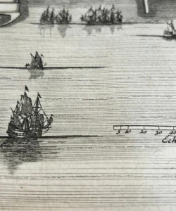
This plan of Split from 1695 was published in the atlas "Noveau Theater de l'Italie" in 1724. It is a later edition of Mortier's plan of the same from 1695 (the first edition was published by Mortier in his atlas "La Theater de la guera" from 1702). Although the plan was obviously created based on the templates of his cartographic predecessors, Santini and Coronelli, the plan contains a whole series of inaccuracies. In the center of attention is the representation of the city fortification, the Gripa fortress and the port Lazaret. The entire city is shown as a regular rectangle without star-shaped fortifications. Due to such a display, additional errors have occurred. Thus, the Dominican monastery and its church are located within the city walls. The complex of Lazaret buildings in the port got an appearance that does not correspond to the actual condition. The depiction of the Botticelli fort on Bačvice remained unfinished. However, the plan is interesting because it shows Split before the conclusion of the Peace of Karlovac (1699), when the city was still in direct danger from the Turks. This also explains many omissions. Namely, its purpose was not military, but most likely only informative - to convey to the European public the defensive strength of Split. The title of the map is inscribed inside the city walls.
Pierre Mortier (1661-1711), a Dutch publisher and coppersmith who worked in Amsterdam during the second half of the 17th century and the beginning of the 18th century. Publisher of Sanson, Jailot, de Fer and de Wit maps.
Biblos Newsletter
New titles, special copies and quiet recommendations from the antiquarian bookshop.