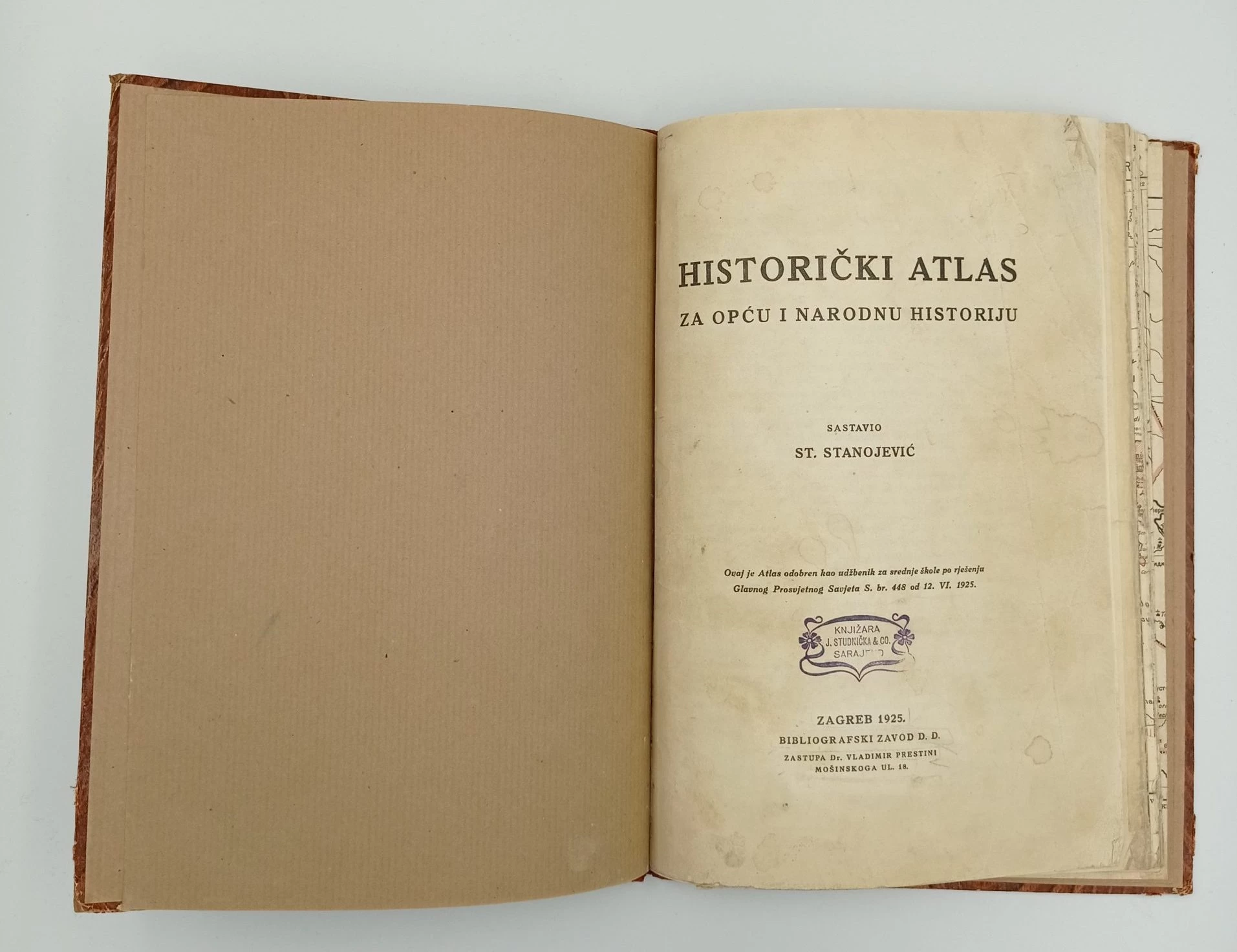

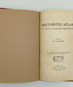
Summary
In addition to maps of the whole world, the atlas also contains maps: Balkan Peninsula from 1812-1914 Balkan battlefield 1915 Serbian, Croatian and Slovenian lands in the 9th century Croatia around 1070 Serbian states from the 9th to the 12th century Bosnian state Nemanic state Peć Patriarchate from 1557 States of Lazarevic, Branković and Baošić Republic of Dubrovnik Military border Serbia 1812 Borders after the Peace of Pozarevac
Biblos Newsletter
New titles, special copies and quiet recommendations from the antiquarian bookshop.