
Summary
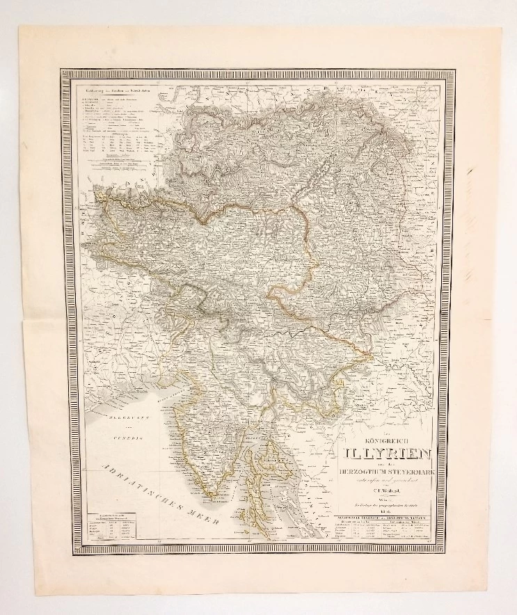
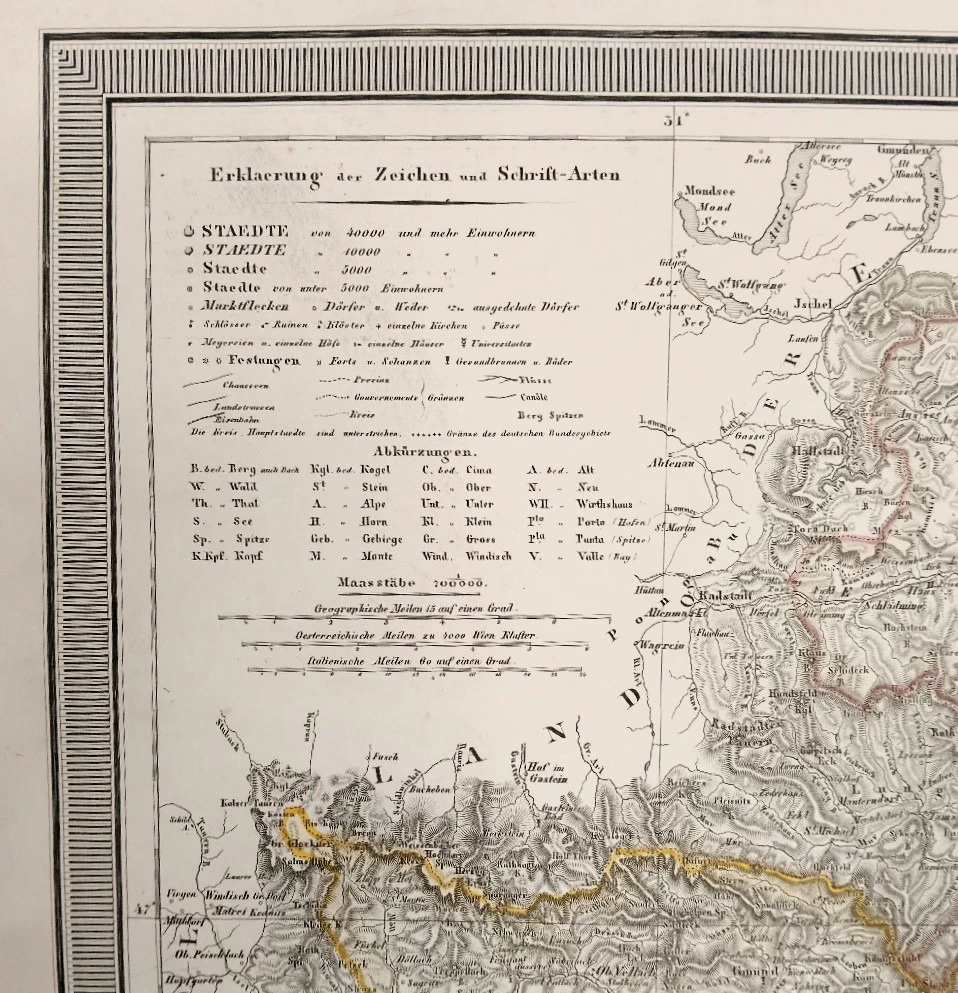
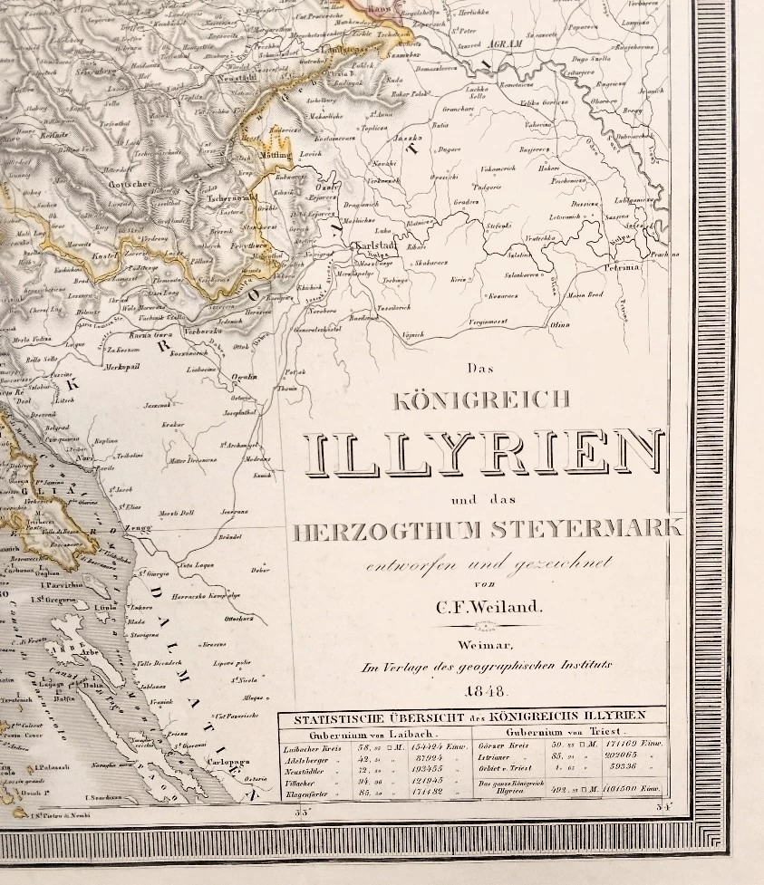
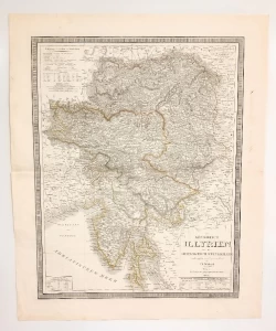
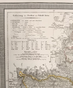
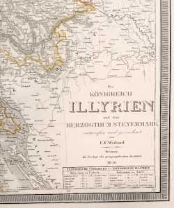
Carl Ferdinand Weiland: Königreich Illyrien und das Herzogthum Steyermark nach de Castro's Charte vom Inneroestreich eskefen von C. F. Weiland - Map of the Kingdom of Illyria and the Duchy of Styria -
Partly colored lithograph
The map was made at the famous geographical institute in Weimar where Carl Ferdinand Weiland also worked. It was compiled according to the model of Joseph Castro, who in 1812 created a map of Inner Austrian lands. It was printed using the multicolor lithography technique.
Carl Ferdinand Weiland (1782-1847) was a German cartographer active at the Weimar Geographisches Institut, where he led the production of maps and globes in the early and mid-19th century. Weiland was trained as a military cartographer who started his career at the Geographisches Institut in the private market. Among his other works, Weiland published the German edition of Carey and Lee's American Atlas. Their edition, which has been completely re-engraved in Germany, is of superb workmanship and stands out as some of the best 19th century maps of individual US states printed outside of America.
Biblos Newsletter
New titles, special copies and quiet recommendations from the antiquarian bookshop.


