
Summary
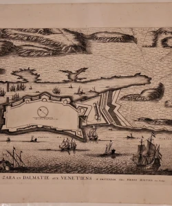
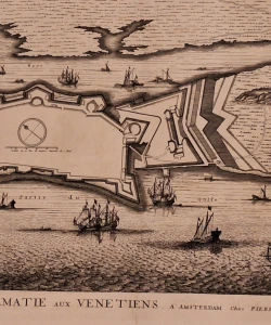
Mortier: Plan of Zadar
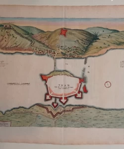
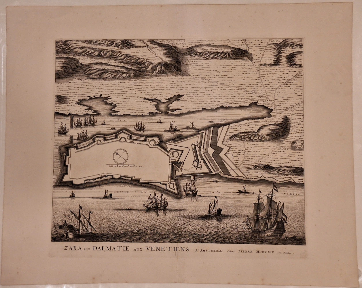
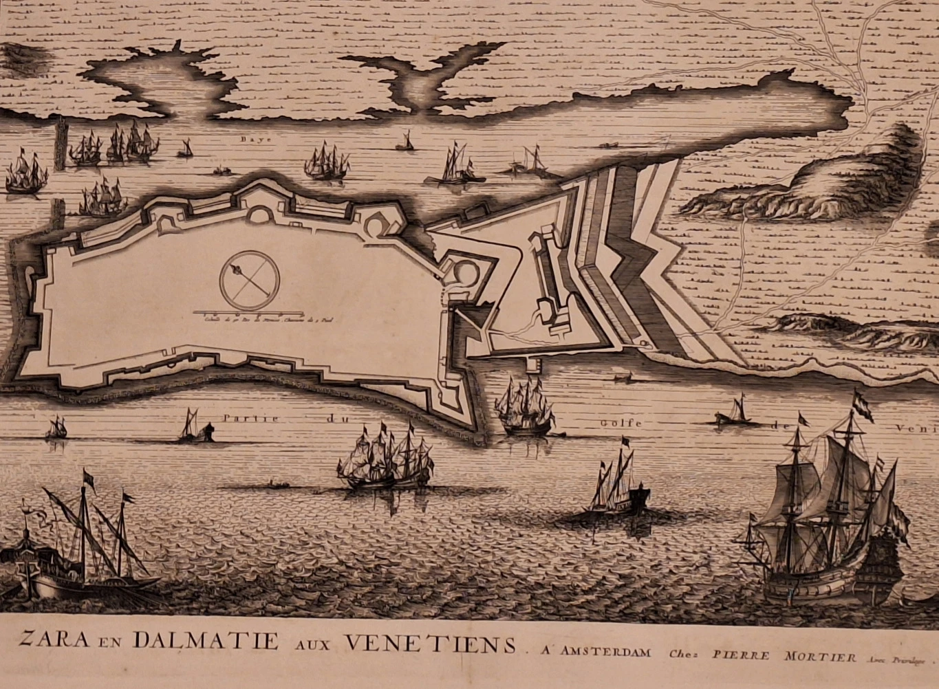
Panoramic map and fortification plan of the city of Zadar, the largest and most important Venetian fortress on the eastern coast of the Adriatic. The square walls and ramparts of the city of Zadar, without the houses and buildings, are located on the peninsula. Special walls and ramparts separate it from the mainland. The Zadar fortifications of the Venetian period represent a classic example of a fortification system. The port of Zadar is beautifully decorated with sailing ships (Venetian ships). Roads towards the interior are marked. From Zadar they lead towards Biograd (Chemin de Zara Vecchio), towards Zemunik (Chemin de Zemonico), towards Nadin (Chemin de Nadin). Forested hills are drawn. The title of the map and basic information are located inside its bottom edge. A linear scale and a compass cross were drawn within the fortified city.
Pierre (Pieter) Mortier (1661-1711) was an 18th-century draughtsman and copper-engraver from the northern Netherlands. Mortier was born in Leiden. He traveled to Paris in 1681-1685. and acquired the privilege in 1690 to publish maps and atlases of French publishers in Amsterdam. He used this opportunity to obtain a similar set of privileges to print an "illustrated printing bible" in 1700. He died in Amsterdam. Publisher of Sanson, Jaillot, de Fer and de Wit maps.
*
Biblos Newsletter
New titles, special copies and quiet recommendations from the antiquarian bookshop.