
Summary
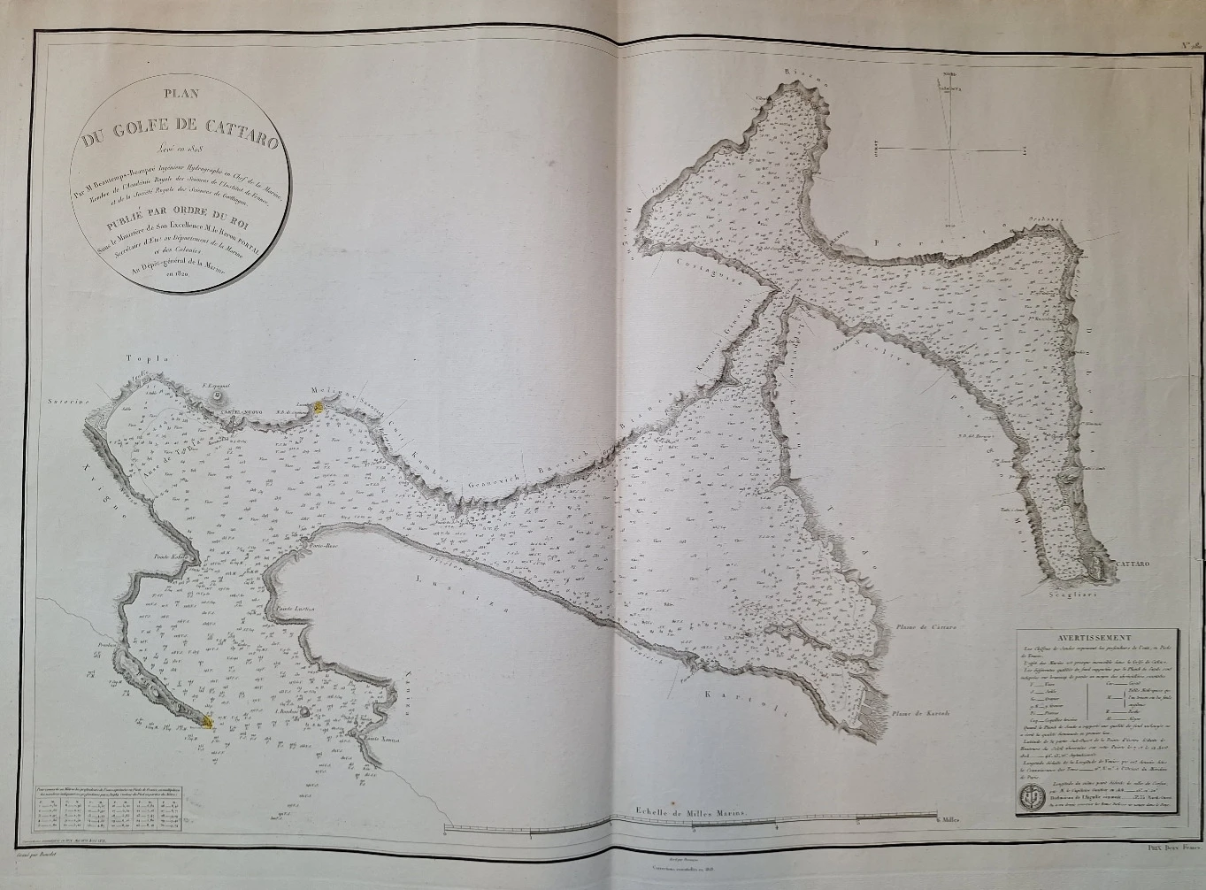
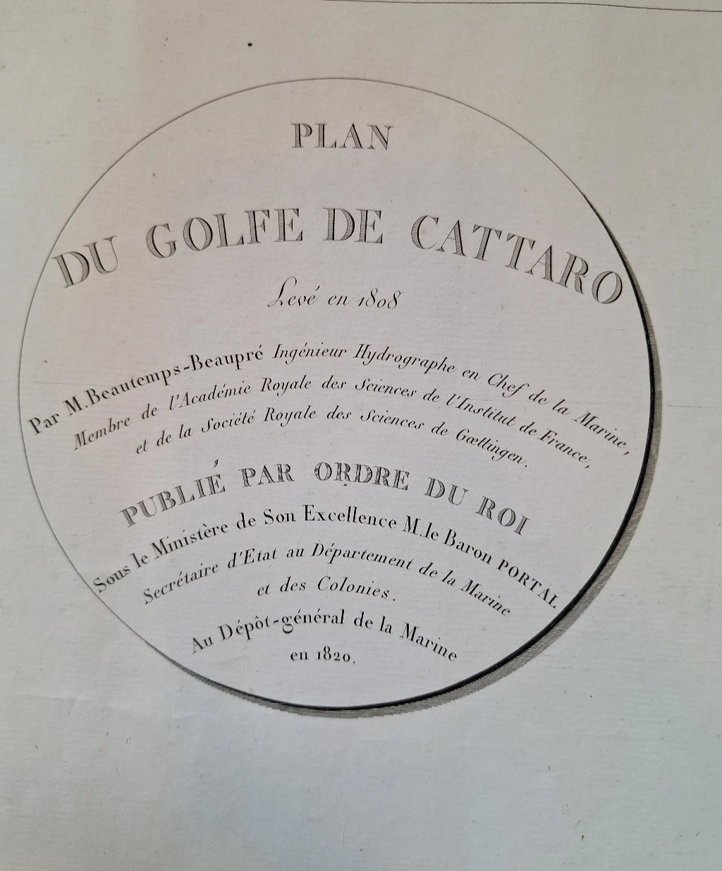
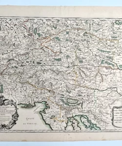
Beautemps-Beaupré, Charles François: Plan du golfe de Cattaro
With the Peace of Požun, concluded in December 1805, Austria ceded the territory of Istria and Dalmatia to the French, and Napoleon, preparing to determine vital points on the eastern coast of the Adriatic, on February 6, 1806, instructed Beautemps-Beaupré to carry out hydrographic measurements. Beautemps, then the assistant director of the Hydrographic Institute in Paris, whom world cartographic science considers the father of modern hydrography, is already known and respected as a pioneer in the application of new triangulation observations in determining the position of land features. On the basis of the capital work Method of making hydrographic maps and plans, printed in 1808, Beautemps was elected a member of the French Academy of Sciences in 1810.
In order to carry out the measurement campaign of the eastern coast of the Adriatic by order of Napoleon, Beautemps boarded a ship in Venice in March 1806 with assistants, hydrographic engineer Magliore-Thomas Daussy (1758–1826) and Lieutenant Titian of the Italian Royal Navy. Beautemps' life and work is described in Olivier Chapuis's book A la mer comme au ciel, Beautemps-Beaupre & la naissance de l'hydrographie modern (1999), while his work on the survey of the eastern coast of the Adriatic was presented by Mithad Kozličić in the book Eastern Adriatic in the work of Beautemps-Beaupré (2006). coast of Istria, from Piran, Pula, Veruda, the Lim channel and Umag, until the beginning of July 1806, precisely at the time when the Russian squadron with the support of the English occupied the side of Kotor. In July, Beautemps was joined by Captain François Henry Daugier (1764–1834) in mapping the Zadar area, Rogoznica and the surroundings of the port of Sibenik. After completing the survey of the port of Split, they were forced to stop the campaign on September 20 because the English fleet entered the Adriatic. So that the precious hydrographic data and recordings would not end up in the hands of the enemy, Beautemps disembarked from the ship on September 28, 1806 in Venice.
On the way to Paris, he handed over the cartographic data to the Military Geographical Institute in Milan, so that in that institution, under the direction of the Minister of War of the Kingdom of Italy, Divisional General Marie François de Caffarelli (1766–1849), a manuscript naval map would be created for Napoleon's personal use. cards. The maps are made by the institute's chief cartographer Carl August Ekerlin (1773–1843) with the help of calligrapher Paolo Birasco.
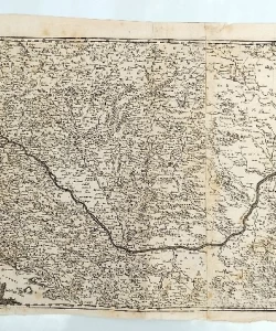
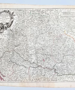
The content of the atlas entitled Hydrographic view of the ports of the Kingdom of Italy (abbreviated as Napoleon's atlas) was described by Mira Miletić-Drder in the book Five Centuries of Geographical and Maritime Maps of Croatia (2005). The atlas consists of fifteen handwritten maps of different sizes on a scale of 1:7,200 and two sheets of coastal contours, drawn in ink and water colors, and is considered the greatest cartographic achievement of that era.
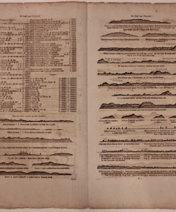
The highest quality paper from the English workshop of James Whatman in Kent was used for the creation of the maps, on whose sheets there are watermarks "J. Whatman 1801." and the depiction of "Napoleon's head". Along with the atlas, Beautemps wrote a 65-page manuscript report in Paris on July 1, 1807.
From the conducted research, we assume that Napoleon's atlas was supposed to be handed over to the ruler, most likely at the end of December 1807, when Napoleon came to Venice to declare the stepson of the Viceroy of Italy, Eugen de Beuharnais, "Prince of Venice", but at that time the drawing of the maps had not yet been completed. In the end, the atlas was never handed to Napoleon, primarily because in the meantime the cartographers of the Hydrographic Institute in Paris, under the leadership of Beautemps, created maps identical to those in Napoleon's atlas, and with the establishment of the English fleet base on Vis in March 1809, Napoleon was forced to permanently abandon the port fortification project on the eastern Adriatic coast.
Biblos Newsletter
New titles, special copies and quiet recommendations from the antiquarian bookshop.