

Summary
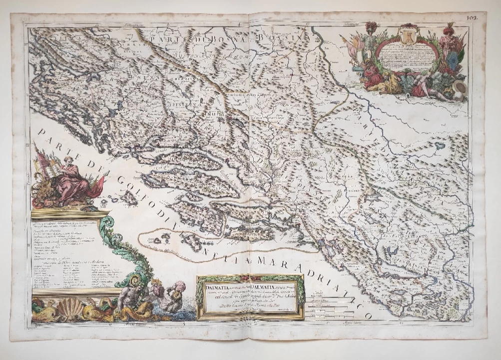
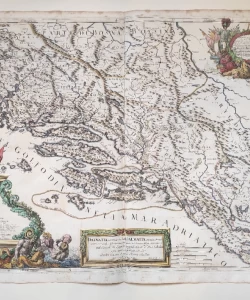
Cantelli da Vignola: Map of Dalmatia in two sheets
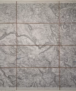
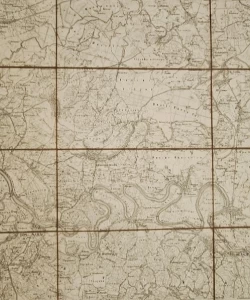
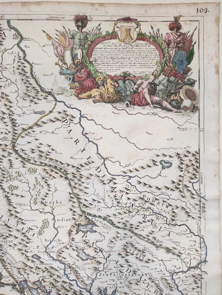
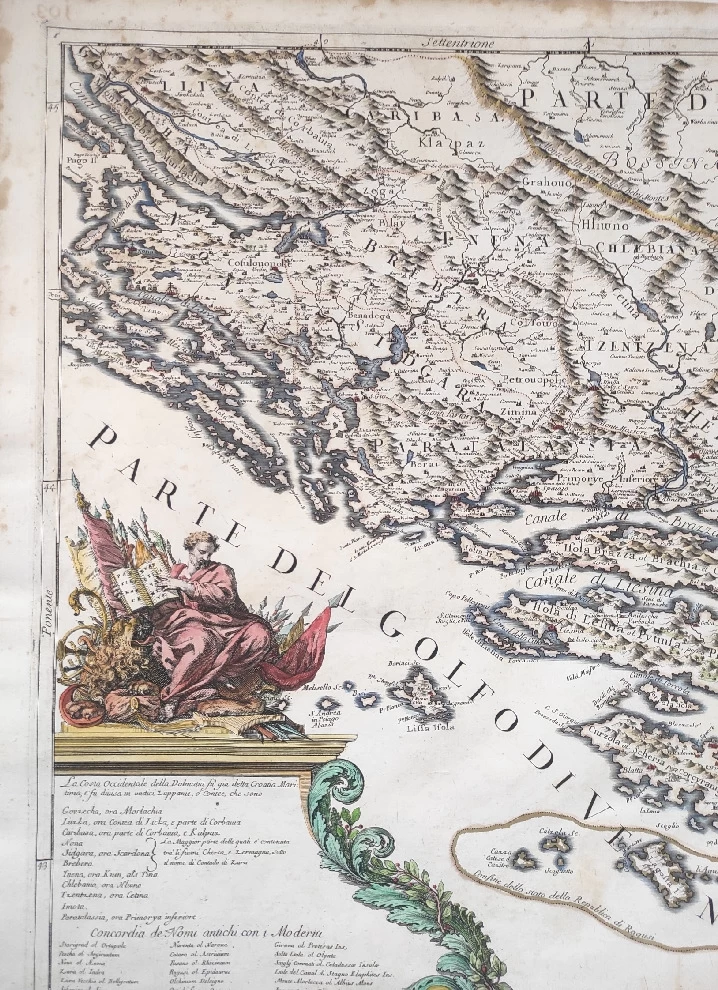
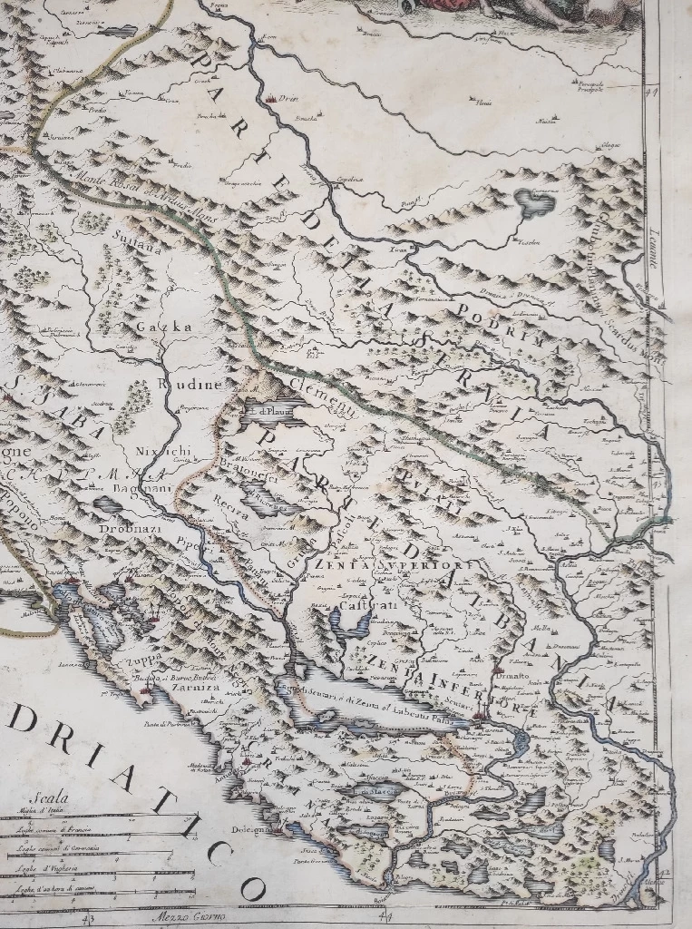
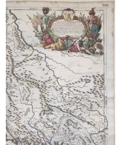
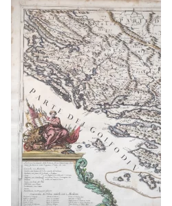
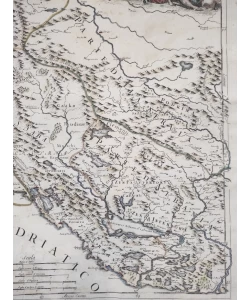
Cantelli da Vignola's map of Dalmatia, published in 1689, shows the old medieval county structure of Dalmatia in the borders before the Turkish invasion. Cantelli marks all Dalmatian medieval counties except Lučka and Pset.
Thus, he marked the names and borders of Ninska County (Nona), Sidrag (Sidgara), Bribirska (Brebere), Primorska later called Kliška (Paratalassia), Kninska (Tnena), Livanja (Chlebiana), Cetinska (Tzentzena) and Imotska (Imota).
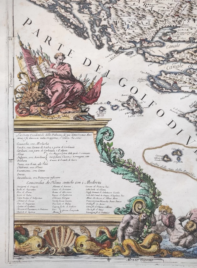
In the land part, it means the counties of Lika (Liczka), Gacka (Gouzecka ora Morlachia) and Krbavska (Caribasa). In the legend of the map, he decisively calls them counties and says that the area shown consists of 11 counties (Le costa occidentale della Dalmatia su' gia detta Croatia Maritima e su' divisa in undici zuppanie, o contee..) and lists them by name.
For the counties of Nin, Sidraška and Bribirska, he notes in the legend that the area between Zrmanja is also known as the Zadar area, i.e. Contado di Zara.
In view of with extremely little information on the borders and territorial extent of the Dalmatian counties, this map is an extremely interesting source for the study of the medieval administrative-territorial organization.
Dimensions: 88.5x62 cm.
Biblos Newsletter
New titles, special copies and quiet recommendations from the antiquarian bookshop.