
Summary
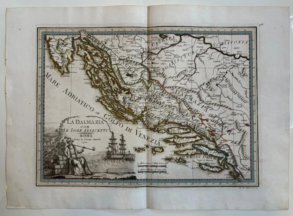
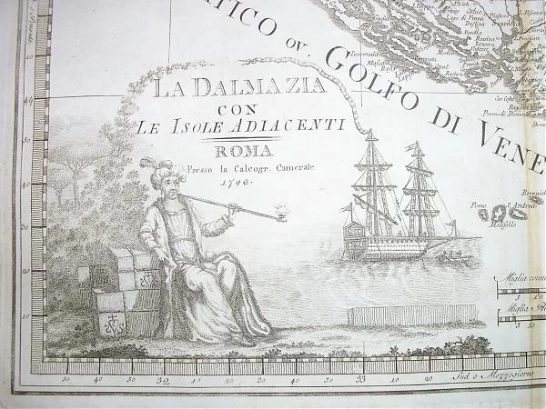
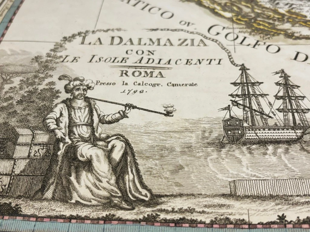
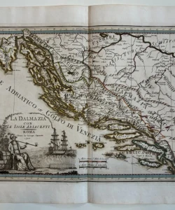
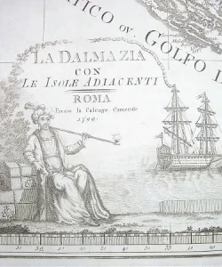
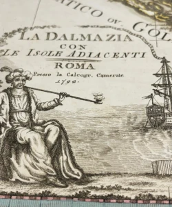
Giovanni Maria Cassini: La Dalmazia con le isole adiacenti / Map of Dalmatia
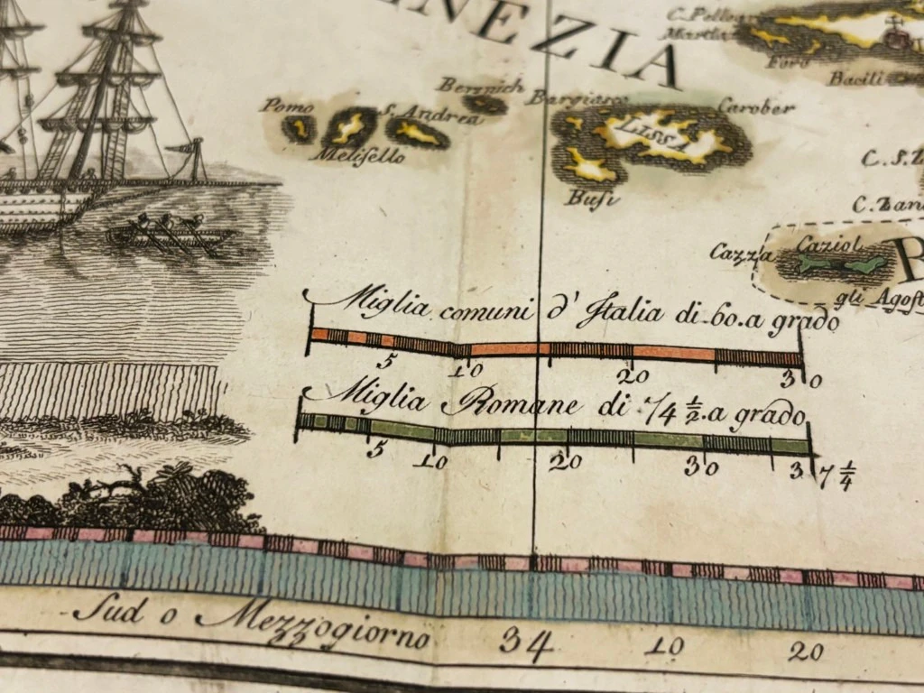
This map shows most of the Croatian lands with drawn borders and names that point to the fragmentation of the territory between the surrounding empires at the time. The area between the Sava and the Una was marked as Hungarian Croatia, the interriver of the Una and Vrbas as Turkish Croatia (Croazia Turca), today's Herzegovina as Turkish Dalmatia, while Venetian Dalmatia (Dalmazia Veneta) was marked within the borders of Venetian possessions from 1730.
Giovanni Maria Cassini (1745 - 1824) was an Italian globe maker, geographer, engraver. and cartographer. His most famous cartographic work is the atlas Nuovo atlante geografico universale (Rome 1793).
Biblos Newsletter
New titles, special copies and quiet recommendations from the antiquarian bookshop.