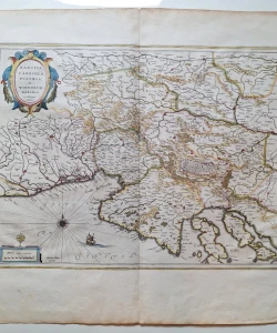

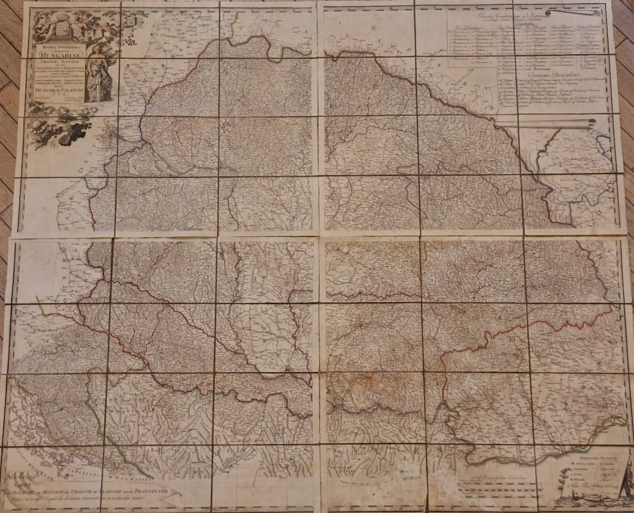
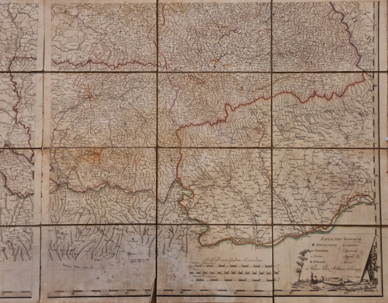
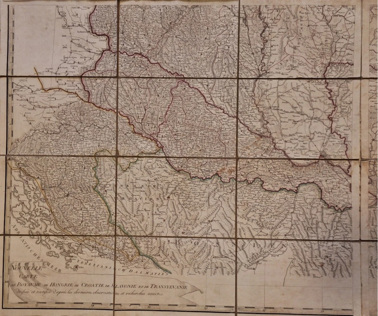
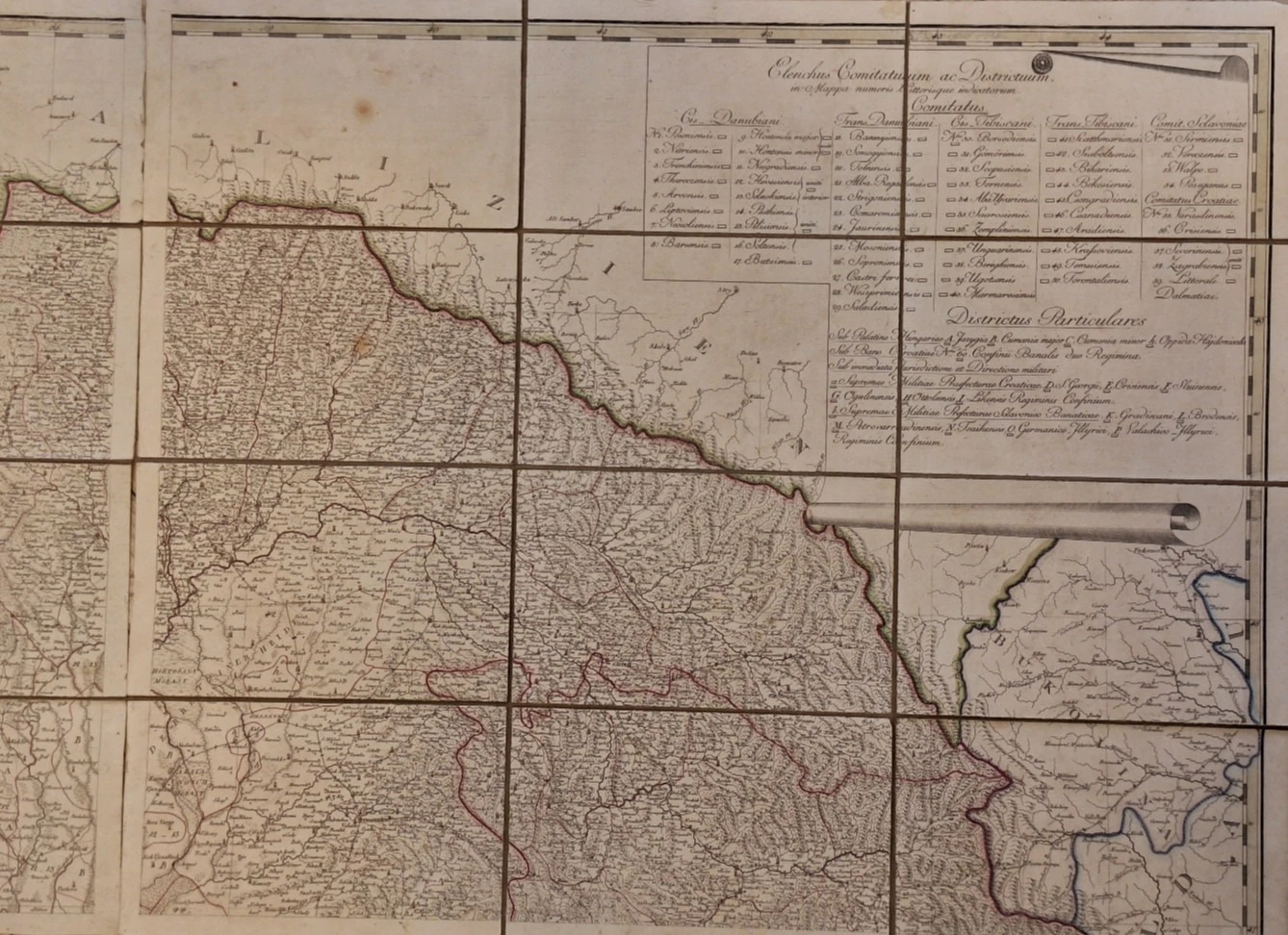
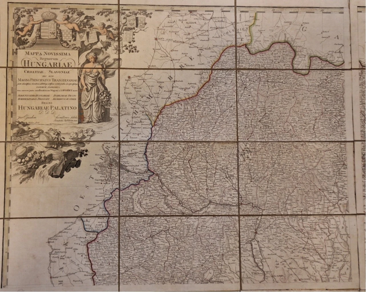
Mappa Novissima Regnorum Hungariae Croatiae, Slavoniae
Basic information
- Author: Lipszky Jan (Uvan)
- Publisher: -
- Availability: Available
- Condition: Very good
- Code: 15005
Shipping options
Payment methods
Explore more
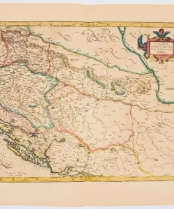
Mappa Novissima Regnorum Hungariae Croatiae, Slavoniae
Lipszky Jan (Uvan)
Summary
Mappa novissima regnorum Hungarie, Croatiae, Sclavoniae nec non magni principatus Transylvaniae ... serenissimo Hungariae et Bohemiae regio haereditorio principi et archiduci Austriae Alexandro Leopoldo : Nouvelle carte du Royaume de Hongrie de Croatie de Slavonie et de Transylvaniae dressedée et rectifiée d'aprés les dérniéres observations et recherches exactes / F. Müller sculpsit
Very rare Lipszky map, laminated in four above the cartouche are the coats of arms of Croatia, Dalmatia and Slavonia. He was educated as a Piarist in Trenčín and graduated from the military academy in Vienna's Novi Mjesto in 1783. In the military service of the Habsburg Monarchy, he advanced to the rank of colonel (1809). Using the data of M. D. Bogdanić, he created a very rich map of Hungary and neighboring countries (Mappa generalis Regni Hungariae partiumque adnexarum Croatiae, Slavoniae et Confinionum militarium, Magni item Principatus Transylvaniae. Pest 1805, 1806, Prague 1849), one of the best of that time, composed of 12 sections on a scale of 1:480,000. He also made the maps Conspectus generalis partium politico-militarium Regni Hungariae (Pest 1804) and Charte zur Übersicht der von Lipszky’schen Charte von Ungarn (Weimar 1806), 1806–18. map of Hungary, Transylvania, Croatia and Slavonia with a list of settlements and Tabula generalis Regni Hungariae, Croatiae et Slavoniae, nec non Magni Principatus Transylvaniae (Pešta 1810, Prague 1827, 1848) on a scale of 1:1,400,000. He is also mentioned as a co-author of the map Mappa Dioecesium Bosnensis seu Diakovariensis et Syrmiensis (Pest 1826).
Additional information
- Author: Lipszky Jan (Uvan)
- Publisher: -
- Year of publication:1792
- Place of publication:Austrija
- Pages:4
- Dimensions:122x104 cm
- Script:Latin script
- Condition:Very good
- Binding:Hardcover
Reviews
0 reviewsWrite a review
Share your experience and help other readers choose.
This item has no reviews yet. Be the first to share your experience.
You may also like