
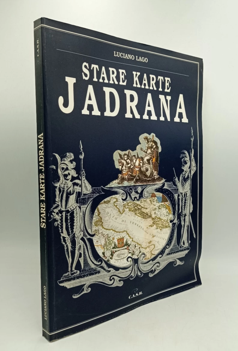
Stare karte Jadrana
Basic information
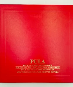
- Author: Lago Luciano
- Publisher: C.A.S.H.Pula
- Availability: Available
- Condition: Very good
- Code: 12663
Shipping options
Payment methods
Explore more
Stare karte Jadrana
Lago Luciano
Summary
Luciano Lago: Old Maps of the Adriatic
Wherever you turn in a circle in the open air, observing the endpoints where the sky seemingly meets the earth, you will see the horizon, that circular surface interrupted by mountains and valleys.
In an effort to remember as many parts of that horizon as possible, man reached for the creation and use of various methods and means, with the help of which he gradually created a more or less permanent and accurate external memory - PICTURE OF THE WORLD.
What is important is his tendency to place himself and his closest environment in the middle of the circle.
Almost every culture, especially powerful civilizations, have some of the material evidence of this aspiration of man to create a record, a drawing, a picture from the perceived or observed landscape in the horizon. From those first records and images of the horizon in the sand, on the water in caves, on ceramic plates, leather, stone and other record carriers, up to the time materials such as photographic paper and lately satellite recording with the help of CCD chips and records and processing of information with the help of imago processing on computers, computer animation, 3D and the creation of virtual reality in which we can put ourselves in a situation where we pass through space and thus examine it and participate in it, thousands have passed year.
Additional information
- Author: Lago Luciano
- Publisher: C.A.S.H.Pula
- Year of publication:1996
- Place of publication:Pula
- Pages:190
- Dimensions:24.5x33.5 cm
- Script:Latin script
- Condition:Very good
- Binding:Softcover
Reviews
0 reviewsWrite a review
Share your experience and help other readers choose.
This item has no reviews yet. Be the first to share your experience.
More books from C.A.S.H.Pula


You may also like