


Summary
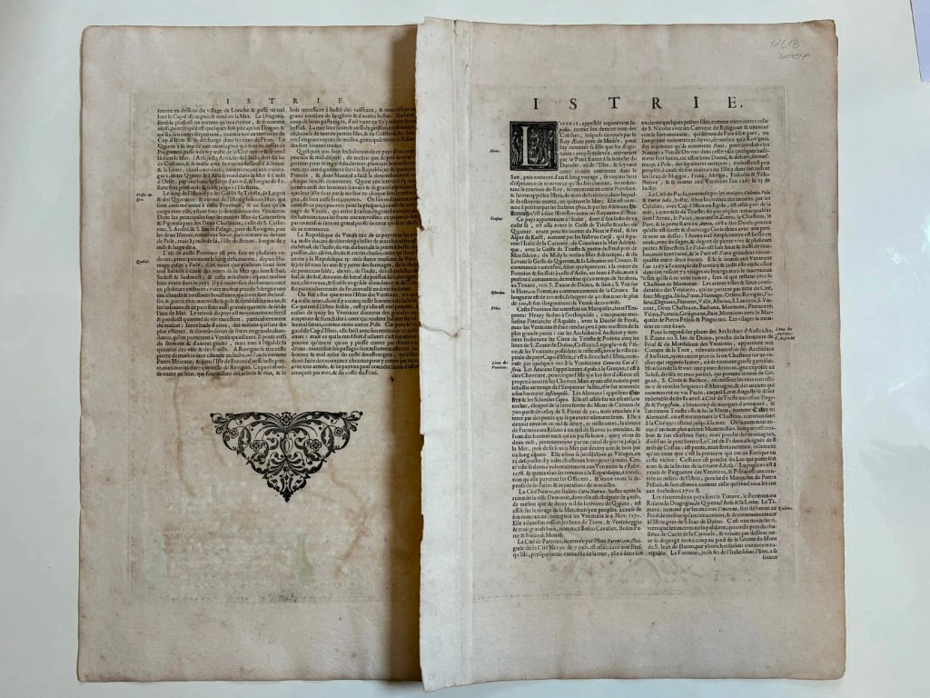
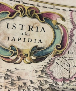
Jan Janssonius: Istria olim Lapidia - Istria
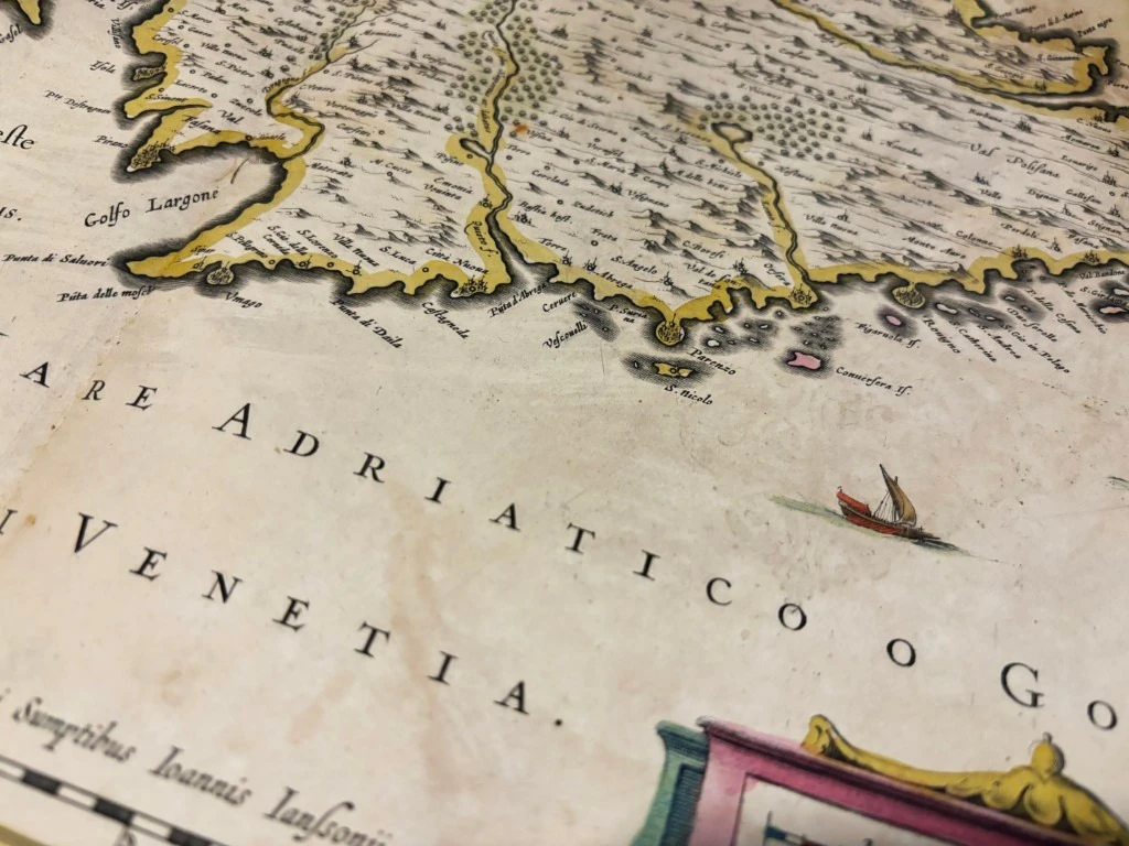
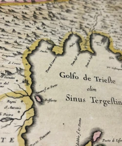
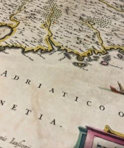
A nice example of Jansson's second map of Istria, with an east orientation at the top.
Jansson's map is based on Magini's map of 1620, which appeared in his Atlas of Italy, the first modern atlas to focus on Italy.
Shows the Istrian peninsula, the Gulf of Treiste and nearby islands. In the interior is the huge lake Czirnicser See (Cerknica Lake), which does not appear on Blaeu's map under the same title. This is an occasional lake that can be completely dry for years. But when it is full, it is the largest lake in Slovenia. As part of the Republic of Venice, this region contained many important seaports that are marked on the map.
Jan Janssonius (1588-1664), after the death of Henricus Hondius, the Dutch cartographer and publisher who would go on to publish the Mercator-Hondius atlas took over the job. In 1633, she got married to Henrico Hondius. As Hondius owned Mercator's printing plates, they work together on new editions of Marcator's atlas. In 1633, they published the second volume of the Mercator-Hondius atlas. The most significant work of Jan Janssonius is the atlas "Theatre du Monde" published in 1639 in three volumes. Constantly being supplemented, in 1662 it reached 11 volumes. In 1694, Janssonius' printing plates were bought by PETER SCHENK (ca 1645-1715).
Biblos Newsletter
New titles, special copies and quiet recommendations from the antiquarian bookshop.