
Summary
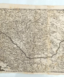
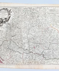
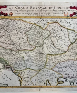
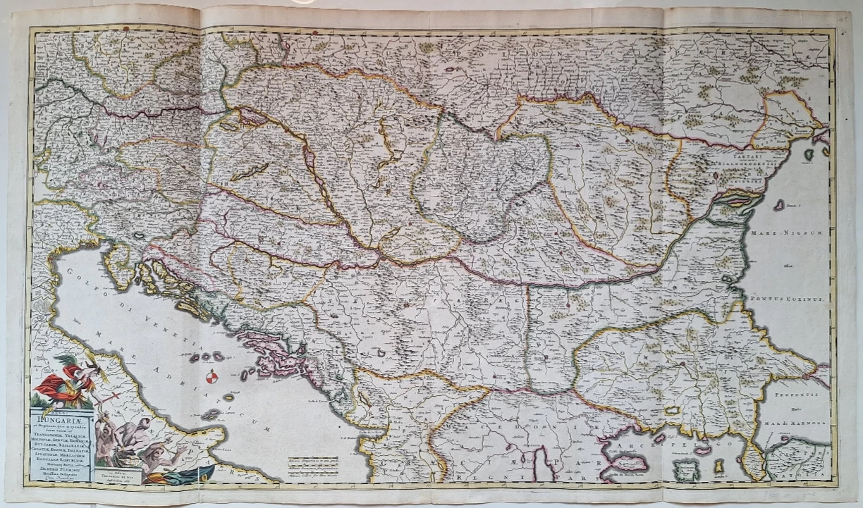
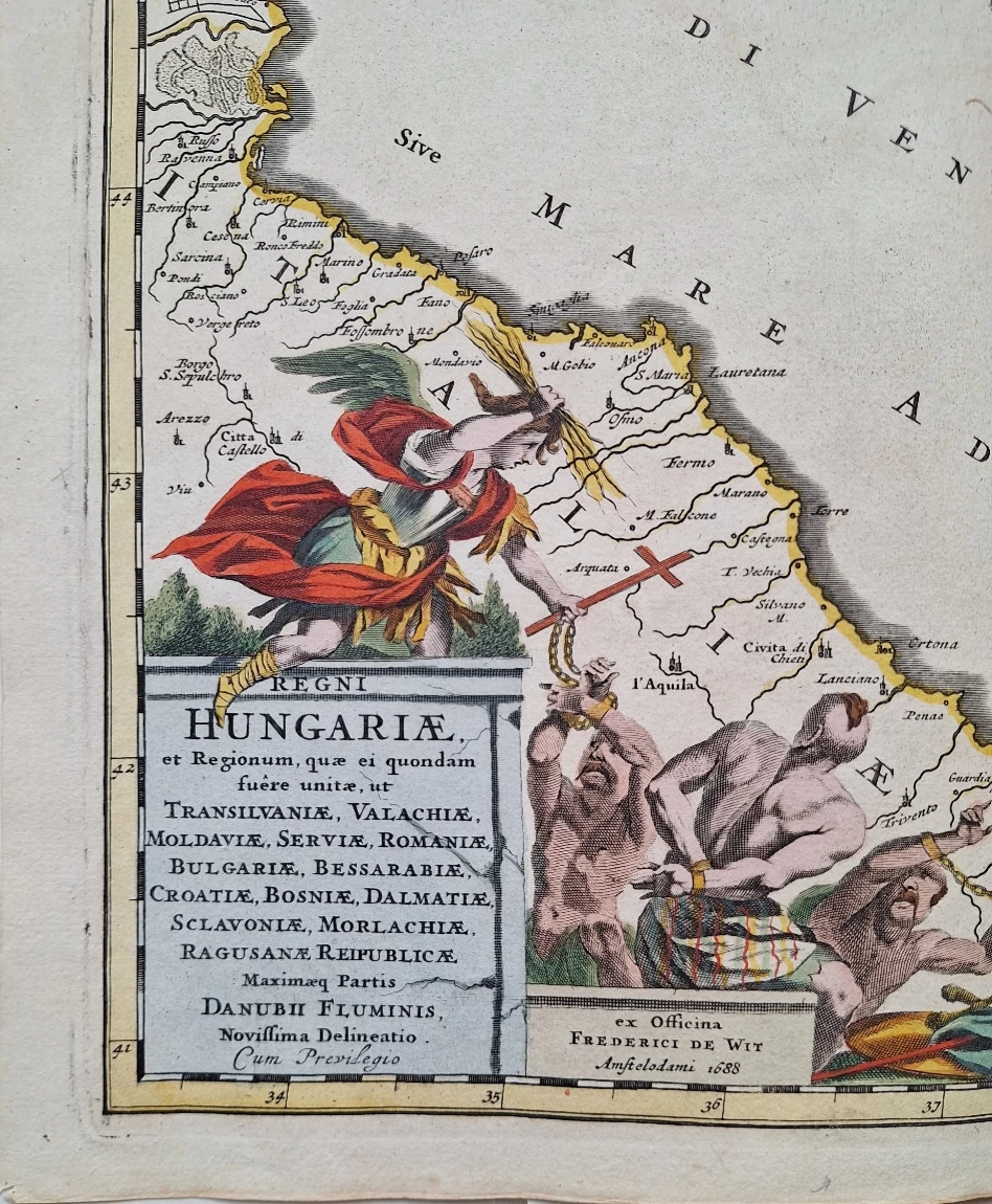
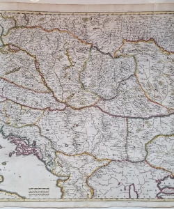
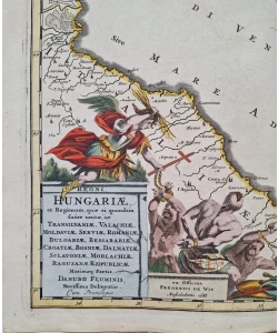
Frederik de Wit: Regni Hungariae et regionum, quae ei quondam fuere unitae, ut Transilvaniae, Valachiae, Moldaviae, Serviae, Romaniae, Bulgariae, Bessarabiae, Croatiae, Bosniae, Dalmatiae, Sclavoniae, Morlachiae, Ragusanae Reipublicae, maximaeq[ue] partis Danubii Fluminis, novissima delineatio.
A fantastic large map of central Europe, showing the region from Italy to Romania and the Black Sea, all the way to Krakow and Prague to the north. This map includes a large amount of detail, numerous cities and rivers. Important cities such as Bucharest, Vienna and Constantinople are marked in red.
The map is particularly interesting because of the complete neglect of any mention of the Ottoman Empire. This map was published at a time when the Ottoman Empire still controlled parts of the region, but its importance was rapidly declining. Many in Christendom sought to downplay the importance of the Empire, which may have contributed to this feature. In addition, political boundaries were constantly drawn, meaning that it was better to refer to historical regions in cartography.
The map includes a decorative cartouche in the lower left, including a portrait of the Habsburg ruler. This map was originally published by Fredrik de Wit in 1688
Biblos Newsletter
New titles, special copies and quiet recommendations from the antiquarian bookshop.