Summary
Abraham Ortelius: Pannonia et Illyrici veteris tabula / Map of Pannonia and Illyricum
This is a historical map showing Roman Illyricum with the administrative division established by Emperor Diocletian reorganizing the Empire in 297 AD. Along the edge of the map, he brings a list of localities that he found in written sources, which he was unable to locate in space. The map includes a large number of ethnonyms of the Illyrian tribes that lived there: Seretes, Taurisci, Serapilli, Andiantes, Scordisci, Amantini.
Abraham Ortelius (1527-1598) from Antwerp, is the most famous representative of Dutch-Belgian cartography. After studying engraving and cartography, he started illustrating. However, he himself worked relatively little on mapping. Today, only five maps can be confidently claimed to have been created by Ortelius himself. Ortelius was primarily a map collector and publisher. So by 1570, he collected 70 maps, which he combined in the book "Theatrum Orbis Terrarum", the first atlas in today's sense of the word. However, the maps that the atlas contained came from other cartographers or were created by Ortelius, but according to someone else's template. On each map, Ortelius mentions the author of the map or the source on the basis of which he compiled the map. In addition to the maps, "Theatrum" also contains "Catalogum Auctorum" - a list of known cartographers (87 names) and their works. Ortelius' atlas aroused the same interest as Ptolemy's Geography. "Theatrum Orbis Terrarum" saw a total of 41 editions. How much fame the atlas brought to Ortelius is best shown by the fact that in 1575 the Spanish King Philip II declared him his royal cartographer. Similar to Ptolemy's work, the "Theatrum" began to be supplemented over time with new maps ("Additamenta").
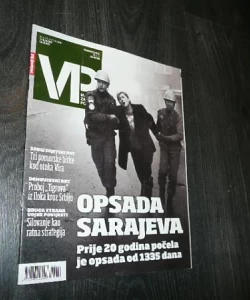
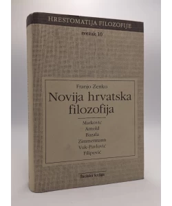
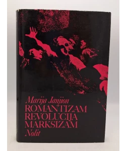
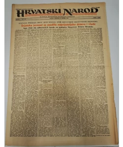
Biblos Newsletter
New titles, special copies and quiet recommendations from the antiquarian bookshop.