
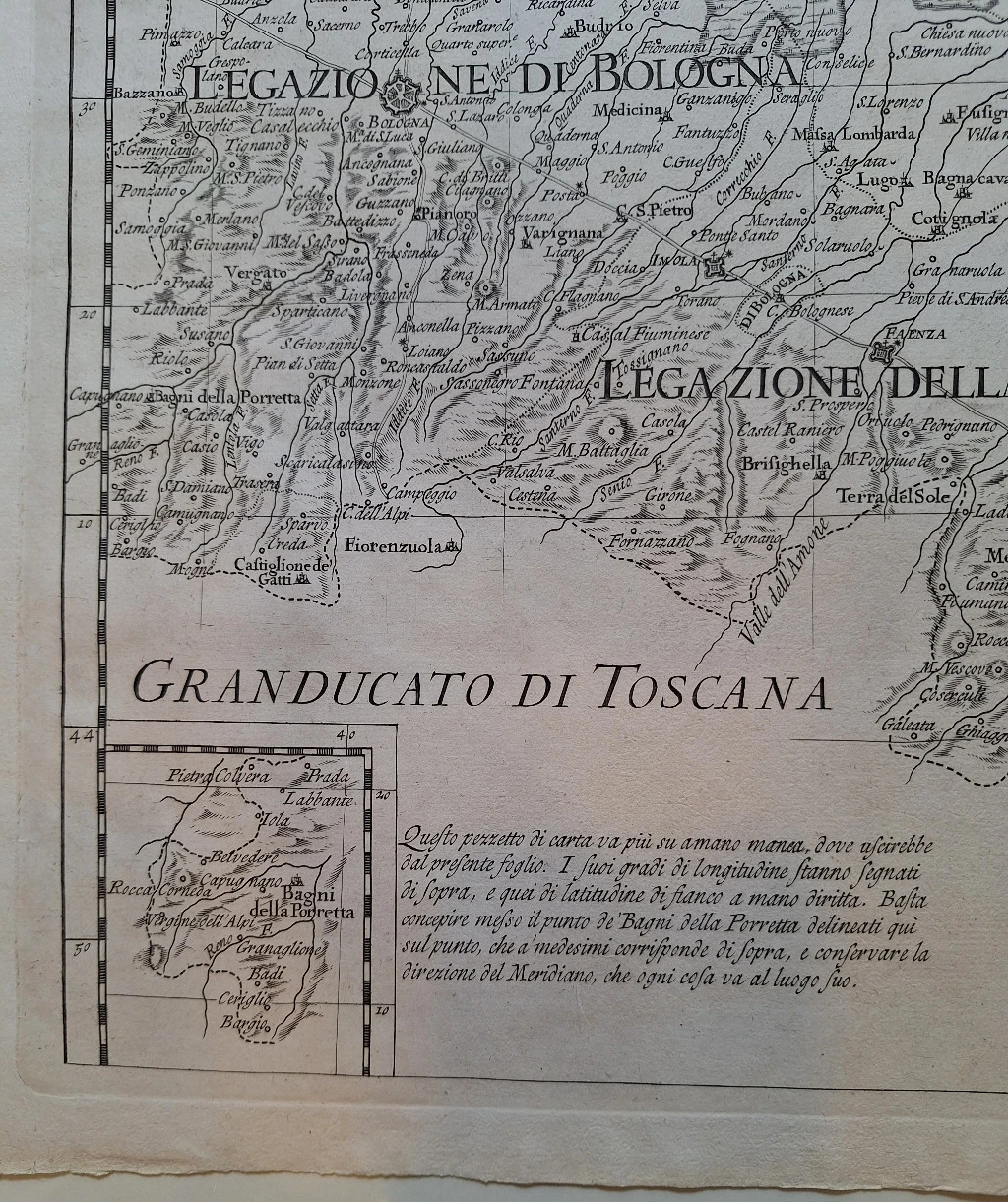
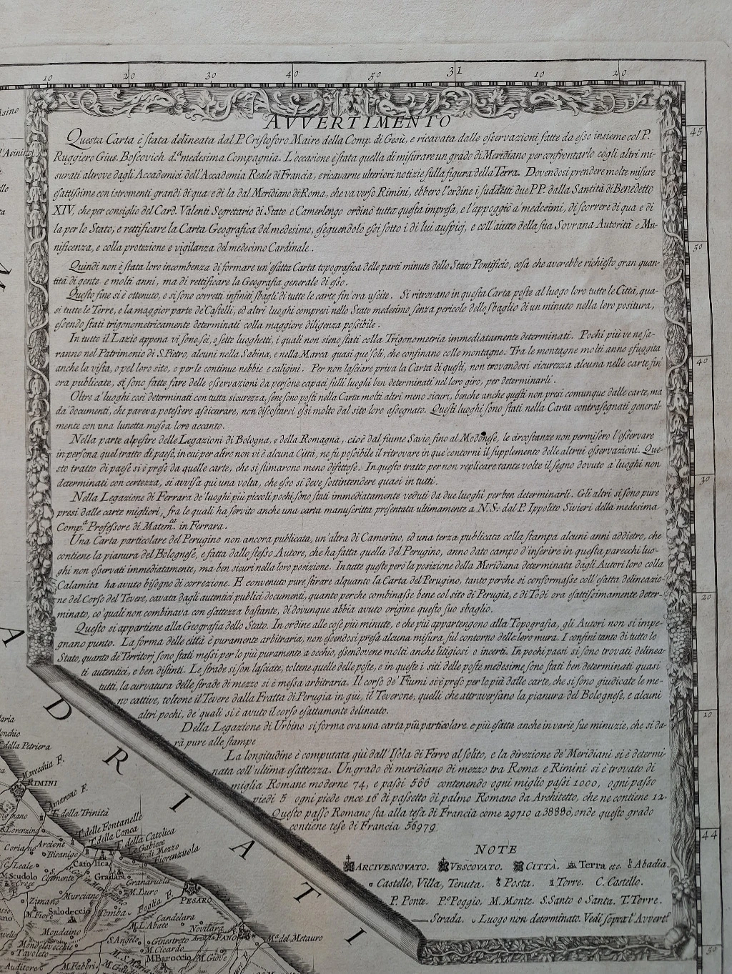
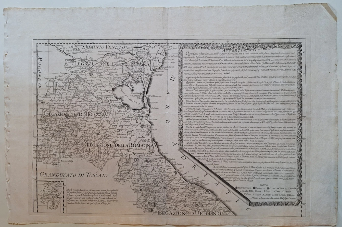
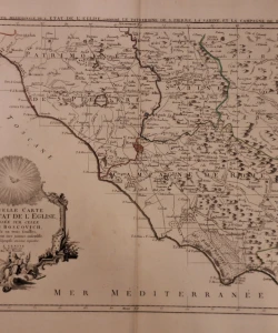
Novi zemljovid Crkvene države (Nuova carta geografica dello Stato Ecclesiastico)
Basic information
- Author: Bošković Ruđer Josip
- Publisher: -
- Availability: Available
- Condition: Excellent
- Code: 57519
Shipping options
Payment methods
Explore more
Novi zemljovid Crkvene države (Nuova carta geografica dello Stato Ecclesiastico)
Bošković Ruđer Josip
Summary
Ruđer Bošković: New Map of the Ecclesiastical State (Nuova carta geografica dello Stato Ecclesiastico)
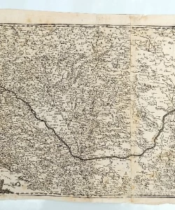
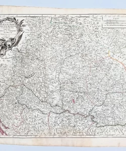
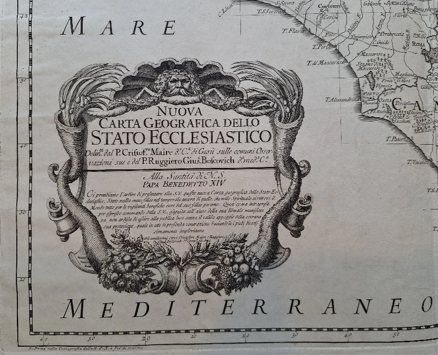
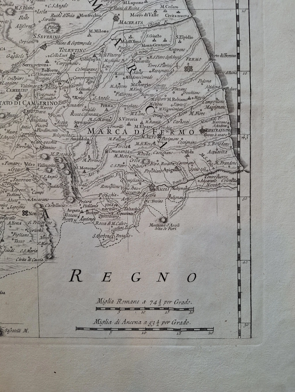
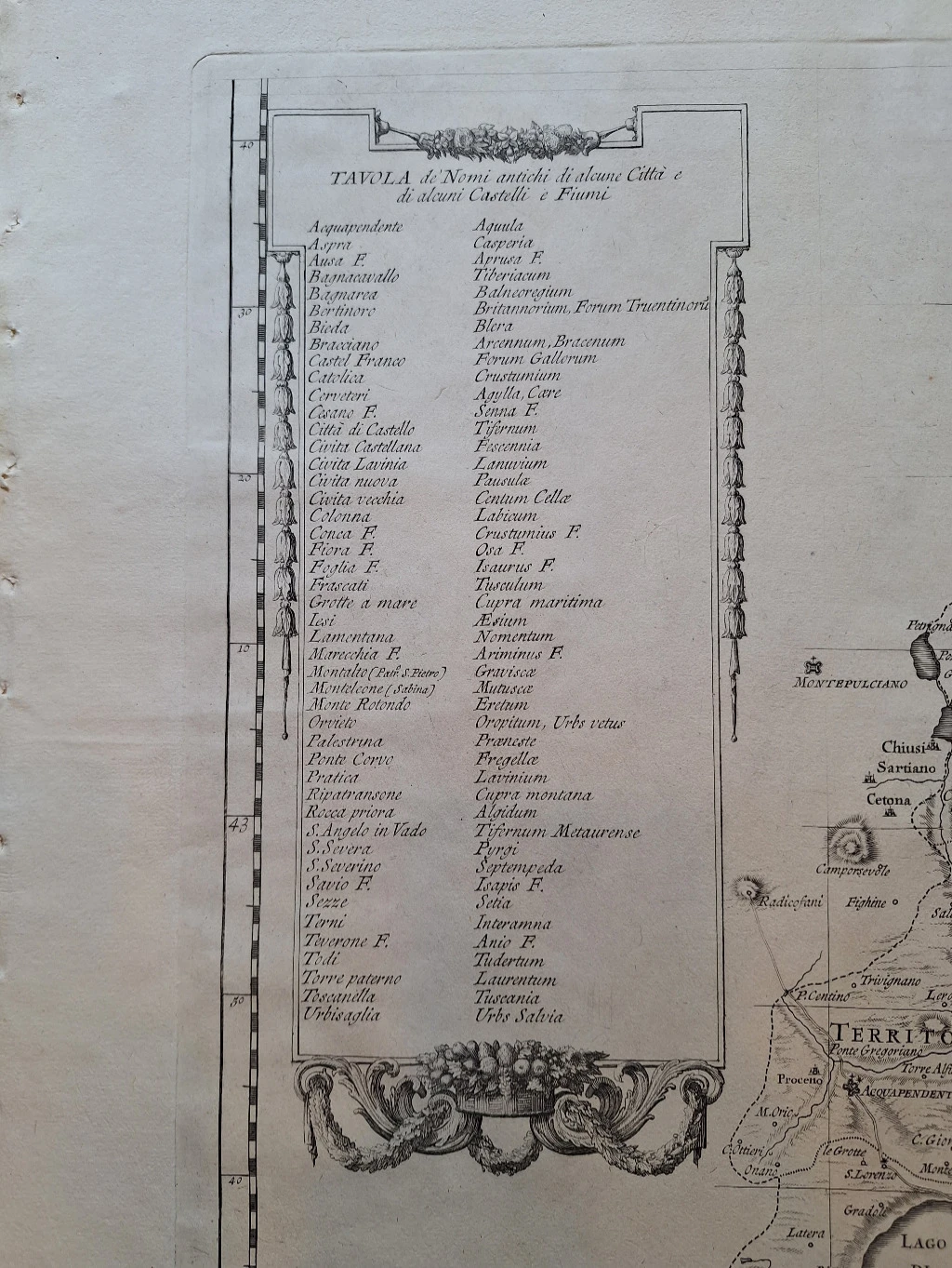
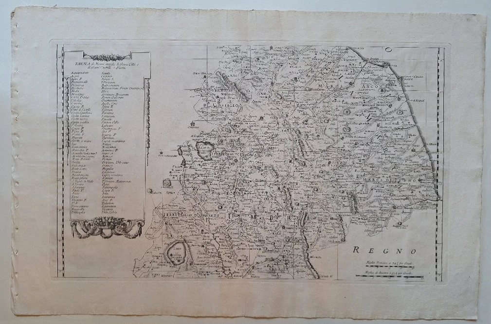
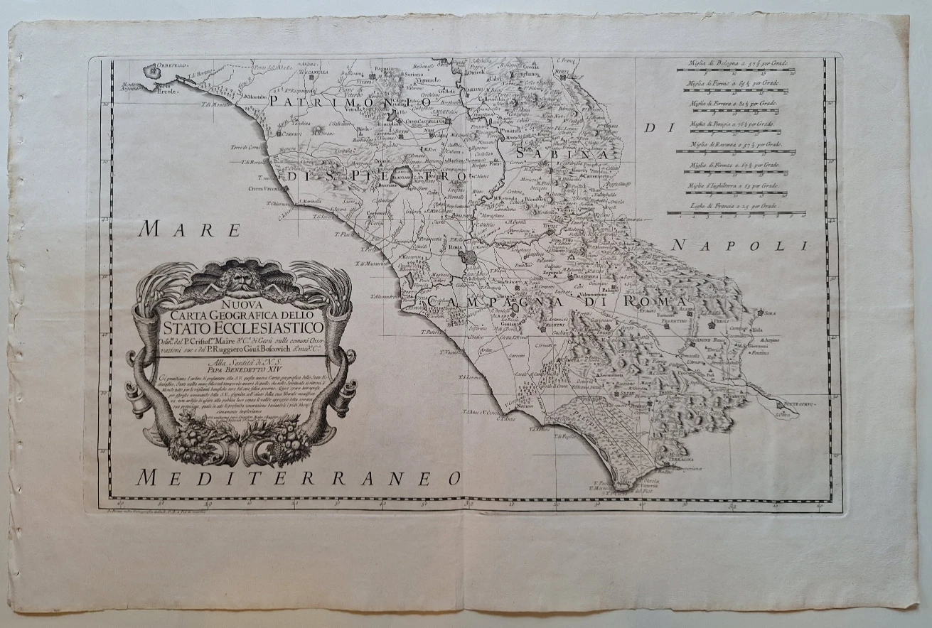
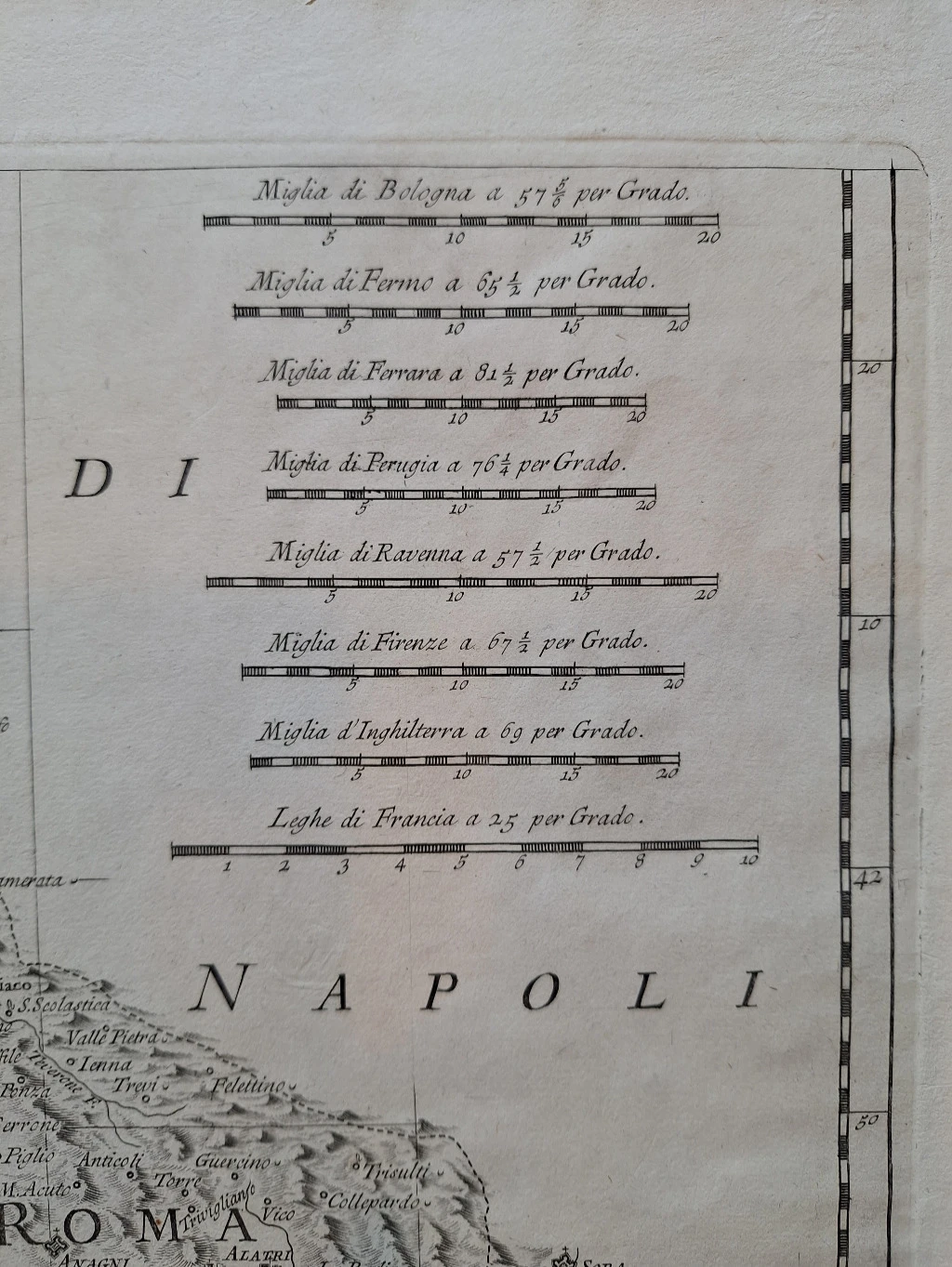
Bošković's most important cartographic work, which he created with his collaborator Christopher Maire. The map was supposed to be published in Bošković's book "De Litteraria Expeditione" (Rome 1775), but due to its large dimensions, it was published separately and is therefore much rarer than the already rare book. The map consists of 3 joined sheets, each of which is 50x66.5 cm, so a total of 150x66.5 cm. It is protected by canvas on the back and can be folded to dimensions of 24x25 cm. In the lower left corner there is an attractive cartouche with Bošković's name. A detailed description and analysis of the map can be found in the article by R. Župan et al., "A contribution to the research of Ruđer Josip Bošković's activities as a surveyor and cartographer" in the magazine "Kartografija i i Geoinformacije", vol.II, no.10, Zagreb, December 2012, p. 76-97, and in "Ruđer Bošković's Lexicon", Leksikografski zavod, Zagreb 2011, pp. 60-63.
Additional information
- Author: Bošković Ruđer Josip
- Publisher: -
- Year of publication:1775
- Place of publication:Rim
- Pages:3
- Dimensions:77x50.5 cm
- Script:Latin script
- Condition:Excellent
- Binding:Softcover
Reviews
0 reviewsWrite a review
Share your experience and help other readers choose.
This item has no reviews yet. Be the first to share your experience.
More books by Bošković Ruđer Josip


You may also like